About
This website presents an ordinary social being who is concurrently a practitioner, academician and critical thinker whose current state is evolved through (turbulent and peaceful) times and strongly influenced by a range of physical, social, cultural processes happened at both systemic and local scales. Informal learnings received from local contexts coupled with participation in formal educational processes in Bangladesh and United Kingdom contributed in developing his aspirations, agility and maturity in conceptualizing the problems deeply, analyze the facts systematically and to provide pragmatic recommendations to address the issues. His academic training in the discipline Geography helped him to examine both the human (social) and physical sides of the challenges and his statistical and geospatial skills contribute in assessing the problems in a data-driven, contextually-correct, comprehensive manner.

Dr. Sheikh Tawhidul Islam
The academic qualifications that equipped him with necessary epistemological-ontological-methodological frameworks for critical inquiries along with personal experiences, technical skills and professional exposures made the said individual distinct among the peers. This brief prologue may justify the narratives provided in this web site about the person who was given with a name by his parents in 1971, Sheikh Tawhidul Islam; he is the product of time, space and contrasting-and-complementary forces acted upon the whole systems including him (such as gravitational and quantum forces). His minuscule presence in a social order developed in Bengal Basin within the extremely large contextual local/global/universal settings are illustrated in this website.
Sheikh Tawhidul Islam, at this moment, is a Professor and Director in the Institute of Remote Sensing and GIS, based in one of the public universities of Bangladesh – Jahangirnagar University. He worked in the Department of Geography and Environment (joined in 1998) of the same University for about two decades and held the ‘Professor’ position there before joining the Institute in February 2021. Dr Islam received his PhD Degree from the Department of Geography based in Durham University, United Kingdom (2002-2006) under British Commonwealth Scholarship Programme. In the PhD thesis he assessed the state of deciduous Sal (Shorea Robusta) forests located in the central parts of Bangladesh using satellite remote sensing techniques and used political ecology as the theoretical framework to assess the interplay of factors that caused forest cover change in the area. The result of the PhD work was nationally commended and later appeared in the national daily newspapers. He produced more than 100 academic and professional works during the last 20 years among which more than 40 works were published in peer reviewed academic journals and the remaining, more 60 research works were carried out for a number of national and international agencies. Dr Islam respects the value of partnerships and contributes in developing new and fostering the existing partnerships across the scale. He looks at the problems within contextual settings, in a connected manner and uses systems thinking/dynamics approach to do the assessments.
Dr Islam has been working in the interface between man and nature and use both quantitative (geospatial techniques, science/data) and qualitative methods (uses different conceptual frameworks, social theories) to examine and better understand societal, environmental problems in a changing climatic context. He has been working on climate change impacts/adaptation issues of Bangladesh and beyond for more than a decade and contributed to the public policy formulation/reform process. His review paper on four decades of climate change impact mitigation process in Bangladesh might give a comprehensive idea on how climate change issues are being tackled in Bangladesh. ( Details at https://www.bangabandhu-chair-ait.org )

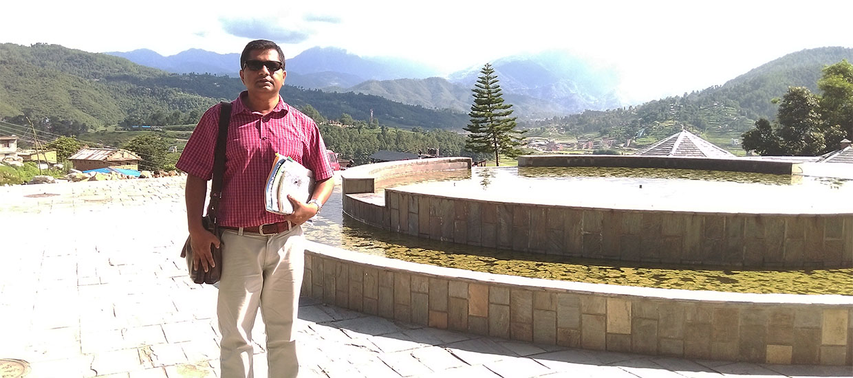
Sheikh Tawhidul Islam in a Research Mission in Nepal
Academic qualifications
PhD Degree – University of Durham, UK, PhD, 2007 (under British Commonwealth Scholarship Programme). PhD titled ‘Resource assessment of deciduous sal forests in Bangladesh’. I used remote sensing techniques in assessing the forest cover change in the study area. Please visit http://etheses.dur.ac.uk
MSc Degree – Jahangirnagar University, Bangladesh, 1st Class (1st position) MSc in Geography, 1994.
BSc (Honors) Degree – Jahangirnagar University, Bangladesh, 1st Class (1st position) BSc (Hons) in Geography, 1993.
Career summary
Professor and Director, Institute of Remote Sensing and GIS, Jahangirnagar University, joined in February 2021.
Professor, Department of Geography and Environment, Jahangirnagar University, Bangladesh. Returned to this position after finishing one year contract with UNDP/CDMP II, from 18th August 2014 to 1st March 2021.
Director, Institute of Remote Sensing and GIS, Jahangirnagar University, joined in March 2017 (in charge) and permanently in February 2021.
Learning and Development Specialist (LDS), United Nations Development Programme, UNDP (CDMP II project, Bangladesh). I took lien leave from my university position and joined this P-4 level, one year contractual position on 18th August 2013 and returned university position in 18th August 2014.
Professor, Department of Geography and Environment, Jahangirnagar University, Bangladesh. Joined in December 2012.
Associate Professor, Department of Geography and Environment, Jahangirnagar University, Bangladesh. December 2007.
Assistant Professor, Department of Geography and Environment, Jahangirnagar University, Bangladesh. May 2002 to October 2007.
PhD Student, Department of Geography, Durham University, UK. October 2002 to August 2006. Passed in 2007.
Research Associate, ForestSAFE Project (funded by European Union), Geography Department, Durham University, United Kingdom (http://www.geography.dur.ac.uk/ForestSAFE/home.htm). May 2006 to August 2006.
Lecturer, Department of Geography and Environment, Jahangirnagar University, Bangladesh. December 1998 to May 2002.
Research Coordinator at RED (Research and Evaluation Division), BRAC (in consultancy mode), Environment Wing, Research and Evaluation Division, BRAC. Started in March 2007 to March 2009.
Part Time Teaching at North South University (taught in summer 2008 Geography of Bangladesh), Department of Environmental Science and Management, North South University, Dhaka, Bangladesh. The title of the course was Geography of Bangladesh.
Part Time Teaching at BRAC University, Department of Disaster Management (taught two courses in spring semester 2009 and 2010), These are, (i) Dissertation Seminars and (ii) GIS and Remote Sensing in Disaster Management,
Part Time Teaching at BRAC University (taught in summer 2008, Fall 2010 and Spring 2011), Masters in Development studies (MDS), BRAC University , Dhaka, Bangladesh. The title of the course was Research Methodology.
Also taught in postgraduate certificate course on Management of Land Acquisition, Resettlement and Rehabilitation (MLARR), where I taught Environmental and Social Impact Assessment.
GIS and Remote Sensing Analyst, Info Consult Ltd, Bangladesh. January 1997 to November 1998.
Research Assistant, Bangladesh Medical Research Council. May 1996 to December 1996.
